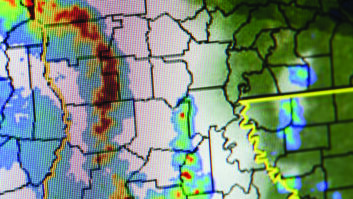
A fascinating map provided by the FCC displays 3G or better wireless coverage for the contiguous United States.
The map was created to aid the upcoming Mobility Fund Phase 1 spectrum auction, Sept. 27. The dark areas are U.S. Census blocks that lack 3G or better mobile coverage. The map lets you zoom in and find further data about the counties and blocks.

Many of the underserved and unserved areas are in the west. Travelers will note that a large portion of these 3G-less areas are national parks, Indian reservations, military reservations, mountainous areas with naturally difficult RF coverage and rural counties in areas such as northern Nevada, southern Utah, eastern Montana, western Texas and along the Canadian border. Not surprisingly, much of Alaska is considered poorly served.
However, the eastern half of the United States also has some underserved areas, mostly concentrated in the mountainous chains running from northwestern Maine, through northern New York and central Pennsylvania down into West Virginia and into eastern Kentucky and western North Carolina. Northern Minnesota, especially in the Iron Range along the Canadian border is also a dead zone.
The best served states look to be Iowa and Kansas.
